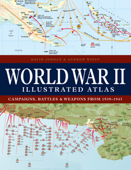
World War II Illustrated Atlas: Campaigns, Battles & Weapons from 1939-1945
Select Format
Select Condition 
Book Overview
This new edition of World War II Illustrated Atlas provides another 25 maps showing the key raids and battles of the war, ranging from the St Nazaire raid in 1942 to the battle for Corregidor in February 1945. World War II Illustrated Atlas is a comprehensive visual guide to this complex conflict. It plots the exact course of the land, sea, and air campaigns in fine detail, enabling the reader to trace the ebb and flow...
Format:Hardcover
Language:English
ISBN:1838863532
ISBN13:9781838863531
Release Date:September 2024
Publisher:Amber Books
Length:224 Pages
Weight:2.60 lbs.
Dimensions:0.9" x 8.0" x 10.5"
Customer Reviews
0 rating


