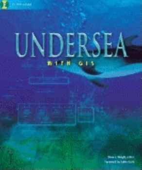
Undersea with GIS
Select Format
Select Condition 
Book Overview
In the same way GIS has helped make analysis and mapping of the earth's surface more accessible and powerful, GIS technology allows experts to see that large portion of the planet that is underwater. This collection of works from experts in marine biology, oceanography, aquatic resource management, and other fields charts the ways in which GIS is beginning to help improve understanding of the oceans. Issues discussed are efforts to map the sea's floor,...
Format:Paperback
Language:English
ISBN:1589480163
ISBN13:9781589480162
Release Date:March 2002
Publisher:Esri Press
Length:225 Pages
Weight:1.70 lbs.
Dimensions:0.7" x 7.5" x 9.0"
Customer Reviews
0 rating


