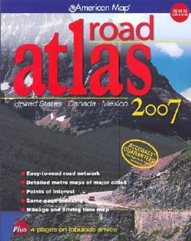
Road Atlas: United States, Canada, Mexico
Covering the United States, Canada and Mexico, this road atlas utilises digital cartography to present up-to-date maps of North America. This description may be from another edition of this product.
Format:Paperback
Language:English
ISBN:0841628122
ISBN13:9780841628120
Release Date:January 2006
Publisher:American Map
Length:140 Pages
Weight:0.05 lbs.
Dimensions:0.3" x 8.5" x 11.1"
Customer Reviews
3 ratings
Give this atlas a look!
Published by Thriftbooks.com User , 17 years ago
While I was loyal to Rand McNally maps and atlases for many years, I now prefer the American Map road atlas because it is more legible, has subtle topographical shading (the Rand McNally atlas has none), and is more compact.
Great Atlas!
Published by Thriftbooks.com User , 17 years ago
I am very pleased with my purchase of the American Map Road Atlas. It has everything I was looking for & then some! I especially like the page that has the driving time & driving distance together so you can know exactly how long your drive is going to be without having to calculate it yourself. And it got to me super fast! I highly recommend it!
An outstanding, practical take-along pick.
Published by Thriftbooks.com User , 18 years ago
This new edition of a top-notch road atlas is the one map book American road traveler's can't afford to be without: it pairs color, easily-read maps with a lay-flat spiral binding and updated new edition to cover the latest information on roads. A 3-D elevation shading makes it easy to assess the geography of a route, while indexes for mileage, guides to metro areas and parks, and the latest details on travel options makes it an outstanding, practical take-along pick. Diane C. Donovan California Bookwatch


