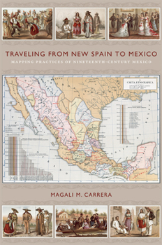
Traveling from New Spain to Mexico: Mapping Practices of Nineteenth-Century Mexico
Antonio Garc a Cubas's Carta general of 1857, the first published map of the independent Mexican nation-state, represented the country's geographic coordinates in precise detail. The respected geographer and cartographer made mapping Mexico his life's work. Combining insights from the history of cartography and visual culture studies, Magali M. Carrera explains how Garc a Cubas fabricated credible and inspiring nationalist visual narratives...
Format:Paperback
Language:English
ISBN:0822349914
ISBN13:9780822349914
Release Date:June 2011
Publisher:Duke University Press
Length:352 Pages
Weight:1.10 lbs.
Dimensions:0.9" x 6.1" x 9.2"
Customer Reviews
0 rating


