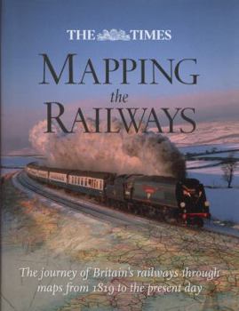
The Times Mapping the Railways
Railways appear in almost every type of map available throughout the nineteenth and twentieth centuries. Detailed Parliamentary plans were drawn up for hundreds of proposed railway schemes (many of which never got past the drawing board). Once built, the Ordnance Survey then plotted the lines onto their national maps of Britain. Cartographers such as John Barthomolew & Son, Cruchley and Bradshaw, were commissioned to draw vast numbers of railway maps...
Format:Hardcover
Language:English
ISBN:0007435991
ISBN13:9780007435999
Release Date:November 2011
Publisher:HarperCollins UK
Length:303 Pages
Weight:3.15 lbs.
Dimensions:1.0" x 8.6" x 10.9"
Related Subjects
TransportationCustomer Reviews
0 rating


