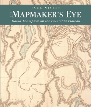
The Mapmaker's Eye: David Thompson on the Columbia Plateau
Select Format
Select Condition 
Book Overview
Between 1801 and 1812, North West Company fur trader, explorer, and cartographer David Thompson established two viable trade routes across the Rocky Mountains in Canada and systematically surveyed the entire 1,250-mile course of the Columbia River. In succeeding years he distilled his mathematical notations from dozens of journal notebooks into the first accurate maps of a vast portion of the northwest quadrant of North America. The writings in...
Format:Paperback
Language:English
ISBN:0874222850
ISBN13:9780874222852
Release Date:September 2005
Publisher:Washington State University Press
Length:192 Pages
Weight:1.60 lbs.
Dimensions:0.5" x 8.9" x 10.5"
Customer Reviews
2 ratings
The Mapmaker's Eye: David Thompson on the Columbia Plateau
Published by Thriftbooks.com User , 18 years ago
David Thompson was a fur trader, explorer, and meticulous geographic surveyor. He was, and is, the English and Canadian counterpart of Lewis and Clark. He visited the Mandan villages on the Missouri River in 1798. He crossed the Continental Divide in 1807 and spent five winters on the west side of the divide trading with the Indians. He explored the Columbia River from its origin to the Pacific Ocean. He kept complete journals. He was a better writer than Meriwether Lewis, although not Lewis' equal as a naturalist. He took astronomical readings and did his own computations of both latitude and longitude. Because of this, his maps were much more accurate than those of William Clark. Later in his life, Thompson helped survey the boundary between Canada and the United States. Thompson's story is also the story of Charlotte, his half-Indian wife of 57 years who bore him 13 children. She and the first few children traveled with him in his explorations, including his first crossing of the Continental Divide. Jack Nisbet is also the author of "Sources of the River," another book about David Thompson. "The Mapmaker's Eye" is a bit more readable and is better illustrated
Amazing epic tale of a life rich with discovery and analysis
Published by Thriftbooks.com User , 19 years ago
Mapmaker's Eye is the amazing biographical chronicle of the adventures of David Thompson, a Canadian fur trader, explorer, and cartographer respected as a hero in Canada yet largely unknown in the United States. From 1801 to 1812, Thompson established two effective trade routs across the Rocky Mountains in Canada and surveyed the 1,250 mile course of the Columbia River. Following his exploration days he transformed the mathematical notations from his dozens of journal notebooks into the first accurate maps of the northwest quadrant of North America. Some of his mapwork was even used by the Lewis and Clark expedition. Award-winning author Jack Nisbet presents Thompson's story in detail yet fully accessible to lay readers, along with a handful of black-and-white and color illustrations. Amazing epic tale of a life rich with discovery and analysis.


