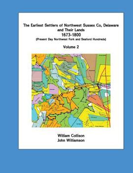
The Earliest Settlers of Northwest Sussex Co, Delaware and Their Lands 1673-1800 Vol 2
This is Vol 2 of a two volume book (BOTH VOLUMES NEED TO BE PURCHASED TOGETHER. Please see Vol 1 listed separately.). The books summarize research that was done to identify all the original land patents in northwest Sussex Co, Delaware from 1673-1800, to identify their original owners and to provide a chronological history of the land until 1800. The area involved is the area north and west of the Nanticoke River in Delaware to the Delaware/Maryland state line. Prior to the Mason-Dixon Line, this area was considered part of Dorchester County, Maryland. The book was developed as a land record reference book for genealogist researching this area. For genealogy researchers who have wondered where their ancestors lands were in this area, the book has plotted all original tracts on modern day maps. Other information developed from the early land records includes: a map of early roads in the area; a map of early landing places on the Nanticoke River, a map of mill locations, and a map of rivers with colonial day names and a table showing present day names. Vol 1 includes a series of 14 maps of the area of research placed in grid maps. In Vol 2 there is a description of every land tract identified and identification as to which map in Vol 1 the land is on and the grid location.
Format:Paperback
Language:English
ISBN:1519657153
ISBN13:9781519657152
Release Date:April 2016
Publisher:Createspace Independent Publishing Platform
Length:538 Pages
Weight:3.07 lbs.
Dimensions:1.1" x 8.5" x 11.0"
Related Subjects
ReferenceCustomer Reviews
0 rating


