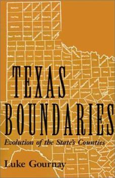
Texas Boundaries: Evolution of the State's Counties Volume 59
(Part of the Centennial Series of the Association of Former Students Series)
"Draw a map for me so I can understand it," a prominent physicist once said when presented with a bold new theory. The history of Texas is here made understandable through its changing maps--an atlas of Texas' geographical and political evolution. From the early boundaries of New Spain, through the 23 poorly defined territories (called municipalities) that existed in 1836, to the 254 governmental bodies we know as counties, the drawing of these geo-political...
Format:Paperback
Language:English
ISBN:1585442038
ISBN13:9781585442034
Release Date:April 2002
Publisher:Texas A&M University Press
Length:152 Pages
Weight:0.55 lbs.
Dimensions:0.4" x 5.9" x 9.1"
Customer Reviews
0 rating


