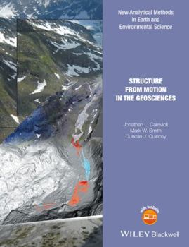
Structure from Motion in the Geosciences
Structure from Motion with Multi View Stereo provides hyperscale landform models using images acquired from standard compact cameras and a network of ground control points. The technique is not limited in temporal frequency and can provide point cloud data comparable in density and accuracy to those generated by terrestrial and airborne laser scanning at a fraction of the cost. It therefore offers exciting opportunities to characterise surface topography...
Format:Hardcover
Language:English
ISBN:1118895843
ISBN13:9781118895849
Release Date:September 2016
Publisher:Wiley-Blackwell
Length:208 Pages
Weight:1.25 lbs.
Dimensions:0.8" x 7.2" x 10.2"
Related Subjects
Engineering Science Science & Math Science & Scientists Science & Technology TechnologyCustomer Reviews
0 rating


