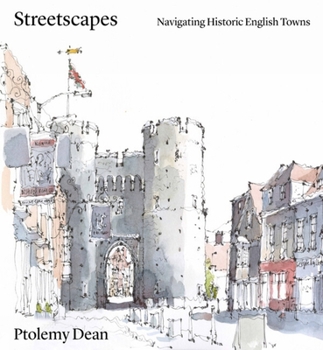
Streetscapes: Navigating Historic English Towns
At a time of increased pressure for new urban development, where there is a focus on either object-based architecture or the rolling out of developer-designed suburban sprawl, there is a concern that the lessons learned about the creation of a general attractive 'townscape' or 'streetscape' have become forgotten or obscured.
Featuring 26 of the most attractive and interesting historic town centres, this book analyses key routes and the urban or visual incidents along them and explains why they might provoke different sensations of joy, interest or containment for the inhabitant or passer-by.
Each of the town studies includes two historical maps - one created by John Speed in the C16th, which explains the general overall layout of a town, its shape, size, defensive walls, and river crossings, and the other a first edition OS map from the late C19th, which reveals the extent that medieval arrangements have survived, or not. Key routes within selected towns are then selected and illustrated as a way to explaining the topography and layout of these towns and how one still experiences them. In particular, there is the recurring theme about how the town might naturally draw you through to its centre, the subtlety of character and placing of key buildings as markers, each of which is uniquely different for each town. The drawings which illustrated the town studies are not only beautiful, but can be discriminate in aspects emphasised.
While, individually, the case studies are insightful and full of fascinating history and detail, as the book moves through these towns, themes, patterns and natural groupings of towns emerge. Thus, as a whole, the volume allows comparisons and explores similarities and contrasts which enrich the book's findings and lessons.
Related Subjects
Architecture


