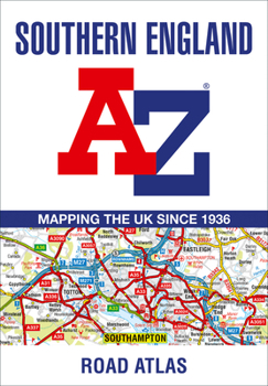
Southern England Regional A-Z Road Atlas
A full-colour regional road atlas featuring 39 pages of continuous road mapping. Covering an extensive area, including Bristol, Swindon, Reading, Slough, Guildford, Littlehampton, Portsmouth, Isle of Wight, Bournemouth, Cardiff, Newport, Weymouth, Sidmouth, Taunton and Weston-Super-Mare. This atlas is shown at a clear 2.5 miles to 1 inch scale (1.58 km to 1 cm) and includes the following features: * Motorways open with full junction detail, motorways...
Format:Paperback
Language:English
ISBN:0008560560
ISBN13:9780008560560
Release Date:July 2023
Publisher:Geographers' A-Z Map Company Ltd.
Length:60 Pages
Related Subjects
TravelCustomer Reviews
0 rating


