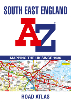
South East England Regional A-Z Road Atlas
This A-Z map of South East England is a full colour regional road atlas featuring 46 pages of continuous road mapping extending from Banbury and Felixstowe to the south coast, and from Oxford and Southampton to Margate and Clacton-on-Sea in the east. Road map detail is shown at a clear 2.5 miles to 1 inch scale (1.58 km to 1 cm) and includes the following features: * Motorways open with full junction detail, motorways under construction and proposed,...
Format:Paperback
Language:English
ISBN:0008560587
ISBN13:9780008560584
Release Date:July 2023
Publisher:Geographers' A-Z Map Company Ltd.
Length:72 Pages
Related Subjects
TravelCustomer Reviews
0 rating


