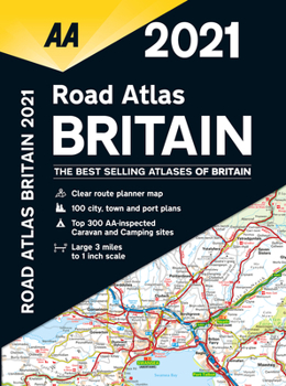
Road Atlas Britain 2021
Each page has been titled with its geographical location. Wide and narrow minor roads, National Trust, English & World Heritage sites are shown. There are 112 city, town, port and airport plans, full color county, unitary and administrative area map and a 31,500 entry index with airports, top tourist sites and motorway services listed. Motorway maps, ferry planning information and 5 district maps provide the essential motoring content for traveling...
Format:Spiral-bound
Language:English
ISBN:0749582413
ISBN13:9780749582418
Release Date:September 2020
Publisher:AA Publishing
Length:328 Pages
Related Subjects
TravelCustomer Reviews
0 rating


