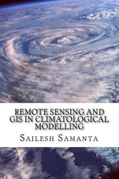
Remote Sensing and GIS in Climatological Modelling
This book presents an introductory course of study in Remote Sensing and Geographic information systems (GIS) and its application for climatological modelling. Remote Sensing, GIS and spatial modelling are becoming powerful tools in agricultural research and natural resource management. Spatial information about climate variables is very important for a sound agricultural planning. Many disciplines use these climate variables (temperature, precipitation,...
Format:Paperback
Language:English
ISBN:1500258504
ISBN13:9781500258504
Release Date:June 2014
Publisher:Createspace Independent Publishing Platform
Length:160 Pages
Weight:0.49 lbs.
Dimensions:0.4" x 6.0" x 9.0"
Customer Reviews
0 rating


