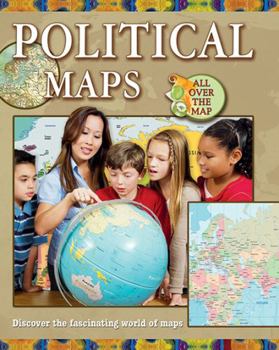
Political Maps
Select Format
Select Condition 
Book Overview
Political maps are often the first kind of maps children learn about. These maps identify the boundaries of countries, states or provinces, and cities, as well as such physical features as lakes and oceans. Detailed, up-to-date maps and clearly written text help readers understand how to use political maps to solve problems. Teacher's guide available.
Format:Paperback
Language:English
ISBN:0778744981
ISBN13:9780778744986
Release Date:May 2013
Publisher:Crabtree Publishing Company
Length:32 Pages
Weight:0.30 lbs.
Dimensions:0.2" x 8.3" x 10.7"
Age Range:8 to 11 years
Grade Range:Grades 3 to 6
Customer Reviews
0 rating


