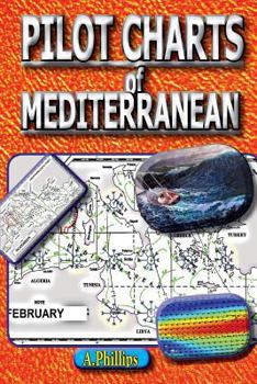
Pilot Charts of Mediterranean: Mediterranean Sailing Bible
COMPLETE BOATING WEATHER INFORMATION FOR THE MEDITERRANEAN SEA. Now including links to a free app.. This is the complete original Atlas of Pilot Charts + Also now included is 10 year wind & weather information collected by NASA satellites. This is modern latest data. Highly useful for planning boating passages. Pilot Charts depict averages in prevailing winds and currents, air and sea temperatures, wave heights, ice limits, visibility, barometric...
Format:Paperback
Language:English
ISBN:1467932736
ISBN13:9781467932738
Release Date:November 2011
Publisher:Createspace Independent Publishing Platform
Length:50 Pages
Weight:0.25 lbs.
Dimensions:0.3" x 5.8" x 8.8"
Customer Reviews
0 rating


