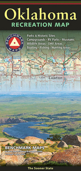
Oklahoma Recreation Map
The Oklahoma Recreation Map is the first map product to accurately represent The Sooner State's highway detail and the richness of recreation opportunities. One side provides a full state map that features Public & Tribal Lands, land cover (forest, grassland, cropland, & wetland), extensive highway networks, point-to-point mileages, recreation sites, Roadside America attractions, campgrounds, parks & wildlife areas, boating & fishing access points,...
Format:Map
Language:English
ISBN:0783499205
ISBN13:9780783499208
Release Date:January 2016
Publisher:National Geographic Maps
Length:2 Pages
Weight:0.13 lbs.
Dimensions:0.2" x 4.8" x 9.0"
Related Subjects
TravelCustomer Reviews
0 rating


