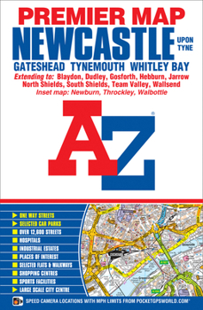
Newcastle Upon Tyne A-Z Premier Map
This A-Z Premier Map of Newcastle Upon Tyne is a full colour, single sided street map covering an area extending to:*Dinnington*Seaton Burn*Dudley (part)*Whitley Bay*Tynemouth*South Shields*Castletown (part)*Washington (part)*Sunniside*Blaydon*West Denton*Newcastle International AirportAlso included:* inset map of Throckley and Newburn* Large scale city centre map of Newcastle Upon TynePostcode districts, one-way streets and safety camera locations...
Format:Paperback
Language:English
ISBN:1782570888
ISBN13:9781782570882
Release Date:August 2015
Publisher:Geographers' A-Z Map Company Ltd.
Length:1 Pages
Related Subjects
TravelCustomer Reviews
0 rating


