
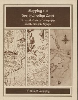
Mapping the NC Coast: Sixteenth-Century Cartography and the Roanoke Voyages
No Customer Reviews

Historical survey that examines the cartography known or available to the English colonists of 1584-1587 as well as that which they produced during their explorations. Includes twenty-eight map plates printed on high quality coated paper, the author's notes, and a useful appendix that lists sixteenth-century names for the southeastern North American coast and correlates them with modern names and landmarks.
Format:Paperback
Language:English
ISBN:0865262322
ISBN13:9780865262324
Release Date:January 1988
Publisher:North Carolina Division of Archives & History
Length:156 Pages
Weight:0.85 lbs.
Dimensions:0.8" x 10.0" x 14.0"
Grade Range:Grades 8 to 12
Related Subjects
HistoryCustomer Reviews
0 rating
Copyright © 2025 Thriftbooks.com
Terms of Use | Privacy Policy | Do Not Sell/Share My Personal Information | Cookie Policy | Cookie Preferences | Accessibility Statement
ThriftBooks ® and the ThriftBooks ® logo are registered trademarks of Thrift Books Global, LLC
ThriftBooks ® and the ThriftBooks ® logo are registered trademarks of Thrift Books Global, LLC
