Skip to content
Scan a barcode
Scan
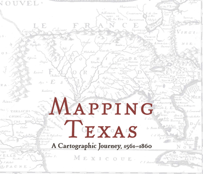
Hardcover Mapping Texas: A Cartographic Journey, 1561-1860 Book

ISBN: 1481311816

ISBN13: 9781481311816

Mapping Texas: A Cartographic Journey, 1561-1860

3,822 perimeter miles. 11,247 rivers and streams. 8,749 feet at its height. 268,596 square miles in total. Texas is big. Julius Caesar once quipped that all of ancient Gaul could be divided up into three parts. Texas resists such easy division.

Mapping Texas, edited by John S. Wilson, presents an array of early maps, dating from 1561 to 1860. The volume features selections from the extensive material housed in the Frances C. Poage...

Recommended

Format: Hardcover

Condition: New

$24.24
Save $5.75!
List Price $29.99
50 Available
Ships within 24 hours

Related Subjects

History

Customer Reviews

0 rating
Copyright © 2024 Thriftbooks.com Terms of Use | Privacy Policy | Do Not Sell/Share My Personal Information | Cookie Policy | Cookie Preferences | Accessibility Statement
ThriftBooks® and the ThriftBooks® logo are registered trademarks of Thrift Books Global, LLC
GoDaddy Verified and Secured