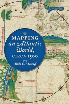
Mapping an Atlantic World, Circa 1500
How did intricately detailed sixteenth-century maps reveal the start of the Atlantic World? Beginning around 1500, in the decades following Columbus's voyages, the Atlantic Ocean moved from the periphery to the center on European world maps. This brief but highly significant moment in early modern European history marks not only a paradigm shift in how the world was mapped but also the opening of what historians call the Atlantic...
Format:Hardcover
Language:English
ISBN:1421438526
ISBN13:9781421438528
Release Date:October 2020
Publisher:Johns Hopkins University Press
Length:248 Pages
Weight:1.14 lbs.
Dimensions:1.0" x 6.4" x 9.3"
Related Subjects
Engineering History Science Science & Math Science & Scientists Science & Technology TechnologyCustomer Reviews
0 rating


