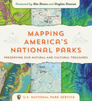
Mapping America's National Parks: Preserving Our Natural and Cultural Treasures
Select Format
Select Condition 
Book Overview
Get an insider look at the US National Park Service to see how they use maps and geospatial technology to protect and manage America's national parks. Maps easily cap your first greeting upon arrival at a national park, allowing you to visualize its vastness, plan your trip, and keep a compact souvenir of your visit. But for the US National Park Service (NPS), maps do more than provide guidance and navigation. Maps help...
Format:Paperback
Language:English
ISBN:1589485467
ISBN13:9781589485464
Release Date:April 2021
Publisher:Esri Press
Length:202 Pages
Weight:2.00 lbs.
Dimensions:0.6" x 9.9" x 10.9"
Customer Reviews
0 rating


