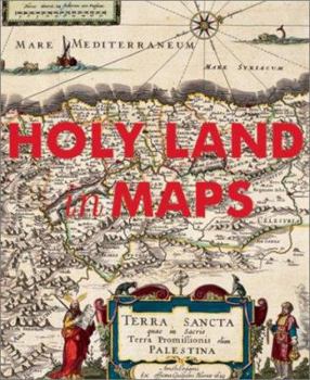
Holy Land in Maps
The history of the mapping of the Holy Land epitomizes the history of cartography itself. Situated at the crossroads of Africa, Asia, and Europe, the Holy Land has been the focus of intense interest... This description may be from another edition of this product.
Format:Hardcover
Language:English
ISBN:0847824128
ISBN13:9780847824120
Release Date:December 2001
Publisher:Rizzoli International Publications
Length:168 Pages
Weight:2.25 lbs.
Dimensions:0.8" x 9.3" x 10.9"
Customer Reviews
1 rating
cartography of Canaan
Published by Thriftbooks.com User , 16 years ago
HOLY LAND MAPS (2001) edited by Ariel Tishby This is a beautiful book showing the evolution of maps depicting the Israel~Palestine area throughout history. It is published by the Israel Museum in Jerusalem. The two oldest maps are the Madaba Mosaic and the "Tabula Quarta Asiae". The Madaba map is from the 6th century and shows some ancient landmarks. It is heavily annotated, and shows the regions as corresponding to the 12 Biblical Tribes of Israel (note: these are not described in the text, you will need to understand medieval Greek to read them!). It is also unusual in that the eastern section of the map is placed at the top! On the other hand, Claudius Ptolemaeus' "Tabula Quarta Asiae" is from the 2nd Century, although the version shown here is a 16th century reproduction by Michael Serevetus. The original was part of a significant masterwork by Ptolemaeus titled "Geographia" which some consider to be the first atlas. Geographia depicted areas all across the globe in several detailed sections; "Tabula Quarta Asiae" is the fourth map of Asia in the collection. The map itself shows surprisingly thorough documentation of cities and their relative distance from each other. The text tells us that the man who produced the reproduction was burned at the stake in 1553. There are a lot of other interesting maps in here as well. The majority of materials are from the 16th and 17th centuries and show a lot of the "trends" in cartography from that time, for example I counted more than a few sea monsters swimming in the water! Abraham Ortelius' map shows various Biblical scenes depicted around the border of the map while Lucas Brandis de Schass' woodcut has these events occurring simultaneously within the same map! There are also chapters on traditions of Hebrew maps and the more abstract/poetic style of Islamic mapmaking. The last major section collects various maps of the city of Jerusalem. One of the maps in this chapter is almost psychedelic topographic map by Carel William Meredith van de Velde. Quite a name, and quite an impressive map. The book ends with some aerial and satellite photography. This is certainly not a scholarly text but it is a great resource for those who want a better idea of how people have viewed the Holy Land throughout history. My only complaint is that it would've been nice to have some detail/inset pictures of some of the extremely detailed maps, particularly the Dutch map by Petrus Laicstain and Christian Schrott and the English engravings by John Speed. The images that are shown are great, but you can't read hardly any of the text. Nevertheless you can still find this book for an affordable price, and it is certainly worth a look. This is a good effort from the Israel Museum.


