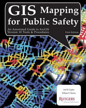
GIS Mapping for Public Safety First Edition
GIS Mapping for Public Safety focuses on Esri's ArcGIS functionality and presents many of the tools and techniques commonly used by public safety researchers, analysts, and practitioners. It gives simple steps for descriptive, exploratory, and explanatory mapping tasks and includes concise but meaningful discussions to let you critically assess and accurately apply the software to your own unique specialty. This provides a solid foundation for advanced...
Format:Paperback
Language:English
ISBN:1478273909
ISBN13:9781478273905
Release Date:July 2012
Publisher:Createspace Independent Publishing Platform
Length:148 Pages
Weight:0.85 lbs.
Dimensions:0.4" x 8.0" x 10.0"
Customer Reviews
0 rating


