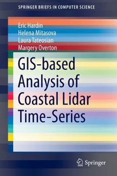
Gis-Based Analysis of Coastal Lidar Time-Series
This SpringerBrief presents the principles, methods, and workflows for processing and analyzing coastal LiDAR data time-series. Robust methods for computing high resolution digital elevation models (DEMs) are introduced as well as raster-based metrics for assessment of topographic change. An innovative approach to feature extraction and measurement of feature migration is followed by methods for estimating volume change and sand redistribution mapping...
Format:Paperback
Language:English
ISBN:1493918346
ISBN13:9781493918348
Release Date:September 2014
Publisher:Springer
Length:84 Pages
Weight:0.31 lbs.
Dimensions:0.2" x 6.1" x 9.2"
Customer Reviews
0 rating


