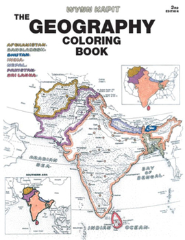
The Geography Coloring Book
Select Format
Select Condition 
Book Overview
For introductory courses in Geography. This unique educational tool introduces the countries of the world and the states of the United States to students. Each section begins with a plate containing a political map, a physical map, and regional maps. Through active participation, by coloring in countries, rivers, regions, etc. (and their respective names), students gain a broader understanding of the material and retain more information...
Format:Paperback
Language:English
ISBN:0131014722
ISBN13:9780131014725
Release Date:October 2002
Publisher:Pearson
Length:208 Pages
Weight:1.12 lbs.
Dimensions:0.4" x 8.5" x 10.9"
Customer Reviews
4 ratings
Not very good condition
Published by Geography coloring book , 1 year ago
This book had a total of 13 pages colored with heavy bleed through markers, ruining a total of 18 pages. I do not consider that ‘very good’ condition by the description provided. I’ve torn out the pages and can use the rest of the book, am disappointed by the inaccurate description.
Excellent Educational Material
Published by Thriftbooks.com User , 18 years ago
This is an excellent coloring book! It has a wealth of information about all of the countries of the world. Although this was written for a 5th or 6th grade level, this coloring book could be appropriate for children as young as 4 or 5 to begin to introduce them to world geography. There are supplemental maps in the back of the book which are designed to help identify major empires throughout the ages (e.g. Ottoman Empire) which can be very helpful for students of history in addition to students of geography. The section containing country flags was also a great resource.
Excellent for use in the classroom.
Published by Thriftbooks.com User , 25 years ago
I have used the first edition for years and am finally updating. I use it in the clasroom for geography instuction and it is wonderful. The pages are very detailed yet simple to understand.
Wonderful geography teacher
Published by Thriftbooks.com User , 26 years ago
This is a great way to learn world geography. By coloring and reading about the country, state, river, mountain range, or territory, we learn in many ways at once. It stays with you. There's the visual, the kinetic, and auditory learning, if read outloud, like we do with my jr. high daughter. It's challenging for her, but she's getting it. As a homeschooling tool it can't be beat. It's great for adults, too!


