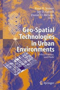
Geo-Spatial Technologies in Urban Environments: Policy, Practice, and Pixels
Select Format
Select Condition 
Book Overview
Applying Geospatial Technologies in Urban Environments.- Remote Sensing Change Detection in Urban Environments.- Assessment of Risk in Urban Environments Using Geo-Spatial Analysis.- Intraurban Population Estimation Using Remotely Sensed Imagery.- Using Satellite Data to Estimate Urban Leaf Area Index.- Public Participation Geographic Information Systems as Surveillance Tools in Urban Health.- Examining Urban Environment Correlates of Childhood Physical...
Format:Paperback
Language:English
ISBN:3642088902
ISBN13:9783642088902
Release Date:October 2010
Publisher:Springer
Length:242 Pages
Weight:0.88 lbs.
Dimensions:0.6" x 6.0" x 9.0"
Customer Reviews
0 rating


