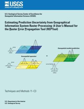
Estimating Prediction Uncertainty from Geographical Information System Raster Processing: A User's Manual for the Raster Error Propagation Tool (Reptool)
Error that is inherent to geospatial raster data can propagate through geospatial models that are used in geographic information systems (GIS) for many natural science and social science applications. The error propagation can result in substantial and spatially variable prediction uncertainty in model results. Consequently, prediction uncertainty has important implications for the use and interpretation of geospatial model results by scientists, environmental regulators, resource managers, elected officials, and the general public. This description may be from another edition of this product.
Format:Paperback
Language:English
ISBN:1500219347
ISBN13:9781500219345
Release Date:June 2014
Publisher:Createspace Independent Publishing Platform
Length:80 Pages
Weight:0.46 lbs.
Dimensions:0.2" x 8.5" x 11.0"
Customer Reviews
0 customer rating | 0 review
There are currently no reviews. Be the first to review this work.


