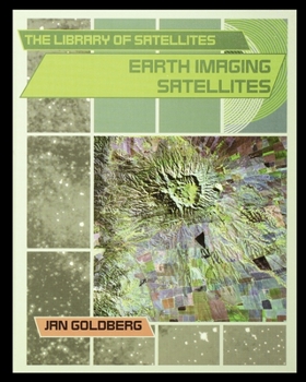
Earth Imaging Satellites
Select Format
Select Condition 
Book Overview
Earth imaging satellites take photographs of Earth's surface to measure pollution, find earthquake fault lines, locate forest fires, plan the growth of cities, and chart changes in size of the polar... This description may be from another edition of this product.
Format:Paperback
Language:English
ISBN:1435890760
ISBN13:9781435890763
Release Date:January 2003
Publisher:Rosen Publishing Group
Length:68 Pages
Weight:0.34 lbs.
Dimensions:0.2" x 8.0" x 10.0"
Customer Reviews
1 rating
Who knew satellites could be so interesting?
Published by Thriftbooks.com User , 20 years ago
Enthralling, well written exposition on the history, current state, and future of satellites. The book has a clean design with excellent photographs. Karen Woodworth-Roman, Children's Science Book Review


