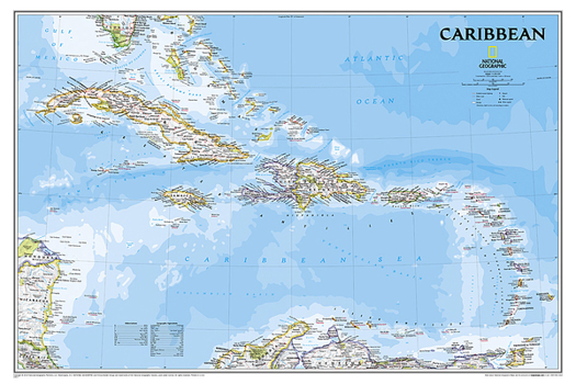
National Geographic Caribbean Wall Map - Classic (Poster Size: 36 X 24 In)
One of the most authoritative maps for the islands of the Caribbean Sea. It shows the entire region in great detail, with coverage extending from the tip of Florida to the northern extents of Colombia and Venezuela, east to Barbados, and west to the eastern edge of Honduras, Costa Rica, and Nicaragua. Detailed bathymetry reveals the remarkable seafloor variation of the Caribbean including the Puerto Rico Trench, the deepest point in the Atlantic...
Format:Map
Language:English
ISBN:1597754404
ISBN13:9781597754408
Release Date:January 2022
Publisher:National Geographic Maps
Length:1 Pages
Weight:1.60 lbs.
Dimensions:3.3" x 3.3" x 37.3"
Related Subjects
ReferenceCustomer Reviews
0 rating


