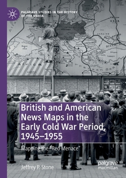
British and American News Maps in the Early Cold War Period, 1945-1955: Mapping the Red Menace
Select Format
Select Condition 
Book Overview
1. Cold War-era News Maps in Historical Context
2. Trends in British and American News Maps by the End of World War II
3. Air Age Maps, the Shrinking Globe, and Anglo-American Relations
4. American Spheres, British Zones, and the "Special Relationship"
5. Cold War Germany in News Maps
6. Conclusions
Format:Paperback
Language:English
ISBN:303015470X
ISBN13:9783030154707
Release Date:August 2020
Publisher:Palgrave MacMillan
Length:236 Pages
Weight:0.68 lbs.
Dimensions:0.5" x 5.8" x 8.3"
Customer Reviews
0 rating


