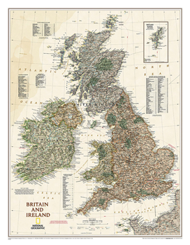
National Geographic Britain and Ireland Wall Map - Executive - Laminated (23.5 X 30.25 In)
National Geographic's Executive political map of Britain and Ireland is both an attractive addition to any study or classroom and an informative tool for exploring these fascinating countries. The map features thousands of place names, major highways and roads, airports, ferry routes, bodies of water, and more. Handy indexes make it easy to identify the counties, districts, council areas, unitary authorities, and metropolitan districts of...
Format:Map
Language:English
ISBN:1597752711
ISBN13:9781597752718
Release Date:February 2018
Publisher:National Geographic Maps
Length:1 Pages
Weight:1.00 lbs.
Dimensions:3.0" x 37.0" x 3.0"
Customer Reviews
0 rating


