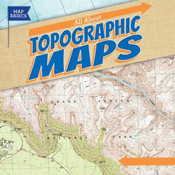
All about Topographic Maps
(Part of the Map Basics Series)
Which trail has a gentle slope? Where are the highest mountains along the Appalachian Trail? Is there a lake along the route? As students read this engaging volume, they will learn how to use United States Geological Survey (USGS) contour maps to answer these questions. They'll get an historical overview of how surveyors used to create these maps, and how technology now helps create more accurate maps. Students will construct 3D models of areas on...
Format:Library Binding
Language:English
ISBN:153822920X
ISBN13:9781538229200
Release Date:December 2018
Publisher:Gareth Stevens Publishing
Length:24 Pages
Weight:0.60 lbs.
Dimensions:0.3" x 8.7" x 8.8"
Age Range:7 to 10 years
Grade Range:Grades 2 to 5
Customer Reviews
0 rating


