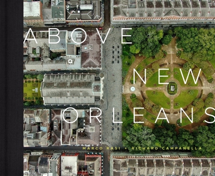
Above New Orleans: Roofscapes of the Crescent City
The first full-length book of drone photography of the Crescent City, Above New Orleans offers readers perspectives never before captured by a camera. Overhead scenes cover the entire metropolis, from the French Quarter to Uptown, from the Mississippi River to Lake Pontchartrain, from Westwego to New Orleans East, and from Gentilly to Gretna. A detailed description accompanies each image, providing insight into the history, geography, and...
Format:Hardcover
Language:English
ISBN:0807176060
ISBN13:9780807176061
Release Date:September 2021
Publisher:LSU Press
Length:264 Pages
Weight:5.20 lbs.
Dimensions:1.1" x 13.6" x 11.4"
Customer Reviews
0 rating


