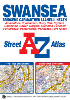
Swansea A-Z Street Atlas
This A-Z map of Swansea, Bridgend, Carmarthen, Llanelli, Neath and Port Talbot is a full colour paperback featuring 125 pages of street mapping covering:*Mumbles*Pen-Clawdd*Gowerton*Gorseinon*Pwll*Burry Port*Portardulais*Gorlas*Ammanford*Brynamman*Skewen*Briton Ferry*Margam*Porthcawl*Pyle*PencoedThe Gower Peninsular, a popular holiday destination, is also covered by street mapping at a scale of 2 inches to 1 mile.A large scale city centre map of Swansea...
Format:Paperback
Language:English
ISBN:1782570837
ISBN13:9781782570837
Release Date:November 2018
Publisher:Geographers' A-Z Map Company Ltd.
Length:160 Pages
Dimensions:5.9" x 8.5"
Related Subjects
TravelCustomer Reviews
0 rating


