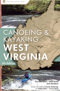
A Canoeing and Kayaking Guide to West Virginia
Select Format
Select Condition 
Book Overview
Get the authoritative guide to the waterways of West Virginia, featuring almost all of the state's paddleable waterways in more than 200 trips. West Virginia's paddling routes are legendary: Gauley River, North Branch of the Potomac, New River, Cheat River, Tygart River, Waites Run, Red Run, Roaring Creek, and Keeney Creek--just to name a few The best way to experience the Mountain State is by paddle. Canoeing & Kayaking West...
Format:Paperback
Language:English
ISBN:0897325451
ISBN13:9780897325455
Release Date:April 2003
Publisher:Menasha Ridge Press
Length:352 Pages
Weight:1.25 lbs.
Dimensions:1.0" x 6.0" x 9.0"
Customer Reviews
1 rating
Will never be on the bookshelf
Published by Thriftbooks.com User , 20 years ago
I just recently discovered this book when a friend loaned it to me, and I can't wait to order my copy. This is a nice reference book that will stay on my coffee table from April to September. I do a lot of canoeing/fishing on the rivers in the summer, and this book has already led me to a lot of great floats that I didn't know about, even though I'm a native West Virginian. It's not going to tell you what to expect around every bend, but it does list the more notable areas of each river, including the dangers and problems you may encounter. The first section of the book has basic information on canoeing and kayaking, terms and definitions, dealing with locals, phone numbers and other sources of information, and more (Much of this is written in a humorous way, reminding me somewhat of Pat McManus). The book then lists each river basin, and after a short description of the area and a little history, it breaks it up into sections. The layout for each section is as follows:1.TABLE - Contains capacities and ratings of the section including rapid classes, river gradient, water volume, scenery rating, time of trip, and river level. 2.MAPS - List of the names of the USGS maps and county maps that cover the section area.3.DESCRIPTION - Describes the river, the scenery, and any other noteworthy aspects of the trip.4.DIFFICULTIES - Notes any dangerous areas or other problems you may encounter along the way. 5.SHUTTLE - Suggests put-in and take-out spots or if there are any shuttle services provided. 6.GAUGE - Notes locations of river level gauges, phone numbers to call for river level information, or just basic references to gauge the level of the river for navigability. (I especially like this. Many times it goes something like, "If there are three stones showing on the so-and-so bridge, you should have no problems from point A to point B." This is nice since so many of our rivers have isolated sections that are nearly impossible to scout.) If you live in West Virginia and want to canoe or kayak, or if you are planning a trip here for some river sports, this book is a great buy for the money.


